
Mapping Progress. Modeling Success.
EvoMap Solutions delivers high-precision aerial data through drone mapping, 3D modeling, and inspections — helping you track progress, reduce risks, and make smarter project decisions.

The Vision Behind EvoMap
Precision in the Sky. Insight on the Ground.
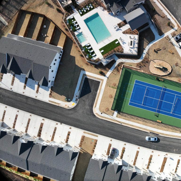
At EvoMap Solutions, we turn aerial data into actionable insight. Based in Georgia, we specialize in high-precision drone mapping, 2D orthomosaics, 3D modeling, and progress monitoring using a multitude of advanced mapping platforms. Our intentions is to assist developers, construction teams, and inspectors visualize the full picture with confidence.
Whether you're overseeing a complex build or verifying site conditions, EvoMap delivers the clarity and consistency you need to make smarter, safer decisions.
Captured by: EvoMap Solutions
Our Foundation
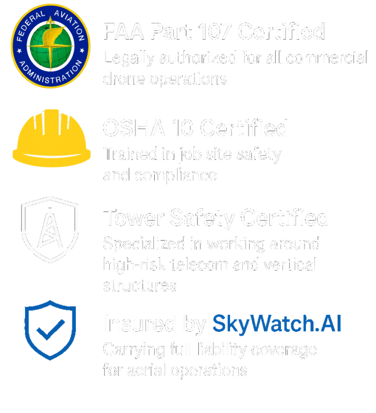
EvoMap Solutions is founded on the belief that technology should simplify, not complicate, your project’s progress. As a fully certified and insured drone service provider, we bring expertise, safety, and professionalism to every flight.
Captured by: EvoMap Solutions

Captured by: EvoMap Solutions
Credentials & Compliance You Can Count On
Our Services

Progress Monitoring
Track construction projects with precision. Our aerial and ground-based progress photos provide consistent visual updates, helping teams communicate clearly, document milestones, and reduce delays.
Key Features:
| Weekly Flyovers | Milestone GIFs | Time-lapse Videos | Before & After Videos |
2D Orthomosaics
Generate high-resolution, geo-referenced aerial maps stitched from drone images. These scalable maps are ideal for site planning, measurement, and visual documentation of real-world conditions.

Key Features:
| Site Overview | Area Calculations | Pre-Construction Maps | Stakeholders View | Annotations |
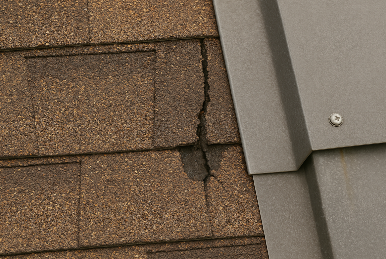
Inspections
Get safer, faster, and more accurate inspections with high-resolution drone imagery. Ideal for roofs, facades, towers, and hard-to-reach areas—minimizing risk and maximizing detail.
Key Features:
| Progess Inspection | Roofs | Utilities | Structural Frames | Storm & Disaster Assessment | Annotations |
|

Tours
Immerse your clients in interactive walkthroughs. Our 360° drone and ground-based tours allow viewers to explore construction sites, real estate, and commercial properties remotely with clarity and confidence.
Key Features:
| Drone Flythrough | 360 Walkthroughs | FPV 3D | Site Walk |
3D Models
We create detailed, photo-realistic 3D models of your site using drone data. Perfect for planning, presentations, and stakeholder engagement—bringing your project to life from every angle.
Key Features:
| Volume Calculations | Measurements | Annotations |
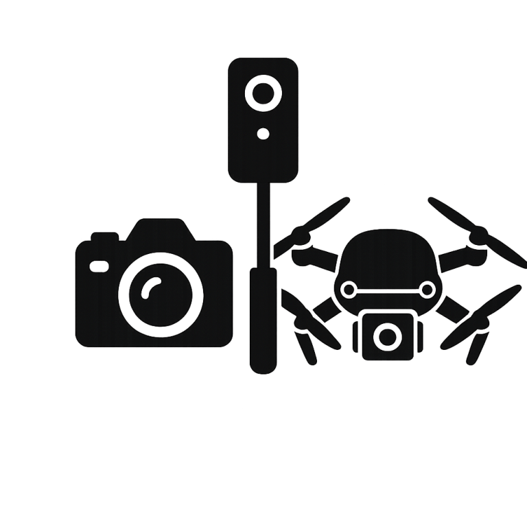
Photography
Capture every angle that matters. We provide high-resolution aerial and ground imagery tailored for marketing, documentation, and reporting—delivering sharp visuals that speak for your project.
Key Features:
| Site Progress | Concrete Pre-Pour & Post-Pour | Material Delivery | Finish Work Documentation | Annotations |
Contact Us
Have a question for us?
We’d love to hear from you. Give us a call today to discuss your project, get a quote, or learn more about how EvoMap Solutions can help bring your vision to life.